
Showing posts with label Puget Sound. Show all posts
Showing posts with label Puget Sound. Show all posts
Wednesday, November 23, 2016
The new 4th St. bridge, the old St. Pete's Hospital, and the south tip of Budd Inlet

Ancient Trading Path

"Near this location passed an important traditional trading path. First forged by game animals, later followed by Native Americans, fur-traders from the Hudson's Bay Company, and American pioneers who established a permanent settlement here in 1845. Known as the Cowlitz Trail, it was the overland route between Puget Sound and Fort Vancouver on the Columbia River, where it linked with eastern trails."
Sunday, November 13, 2016
Where the Deschutes River meets the southern top of Puget Sound

Wednesday, September 28, 2016

Thursday, September 22, 2016


Friday, September 16, 2016
South Gateway to the Puget Sound Country and the Olympic Peninsula

Friday, September 2, 2016


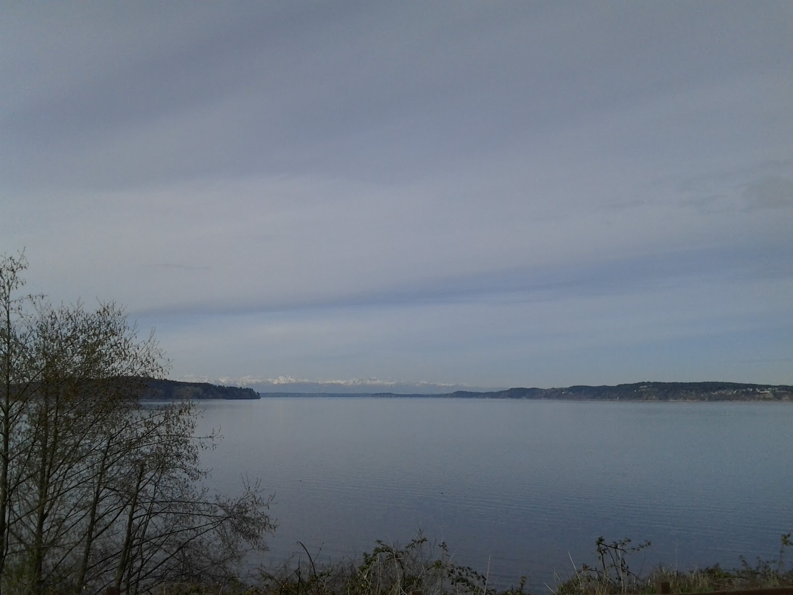
Anderson and McNeil islands


Subscribe to:
Posts (Atom)